open source for outdoors

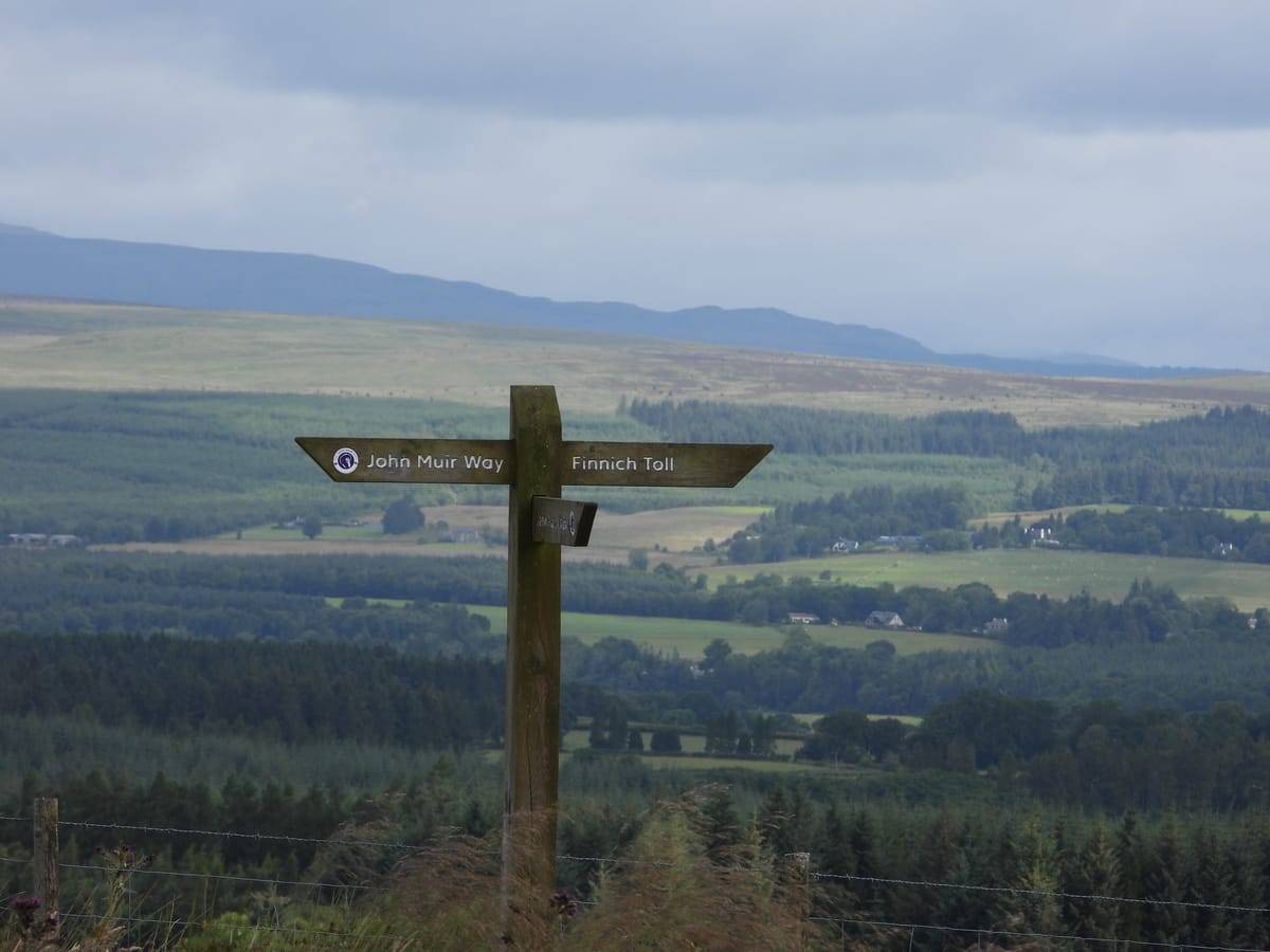
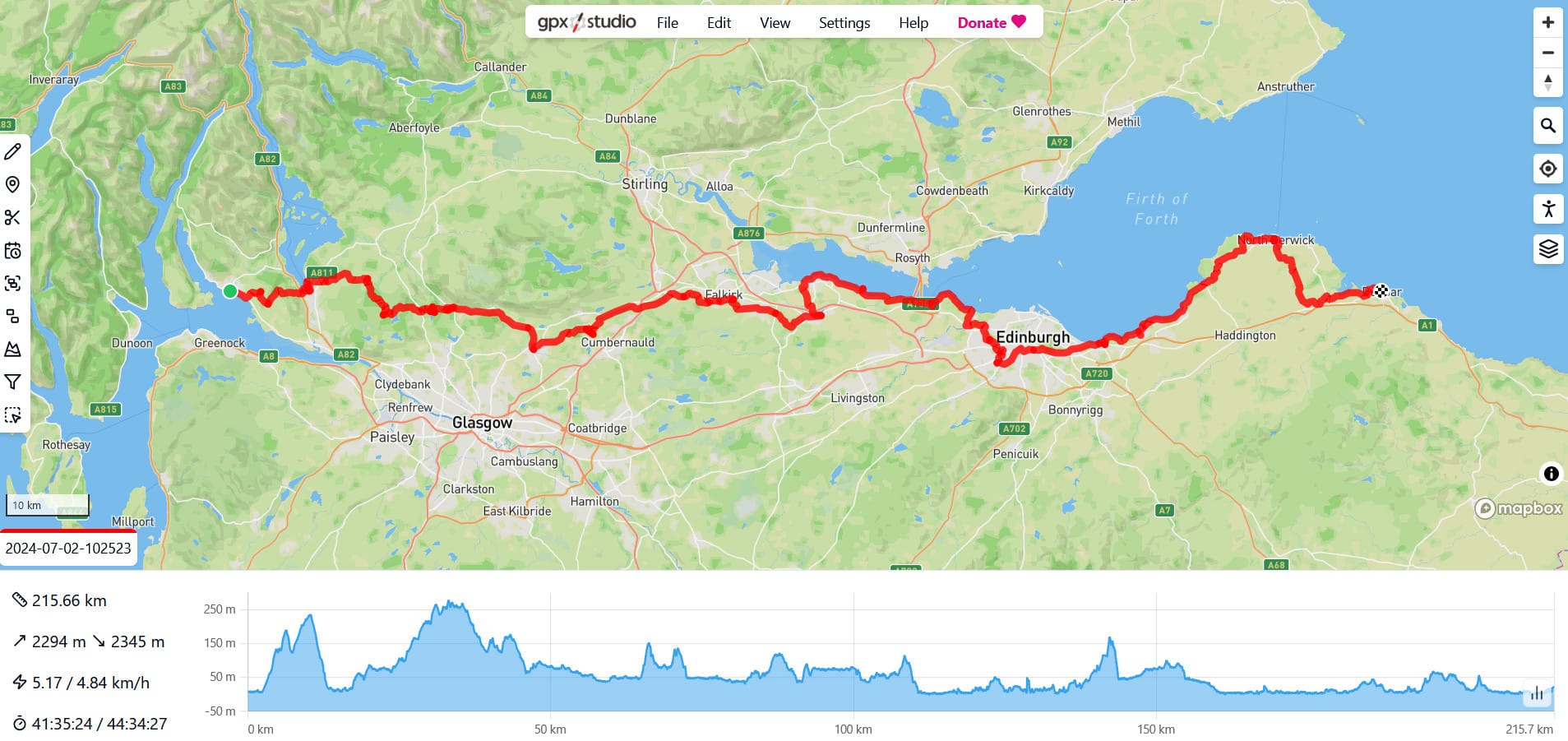
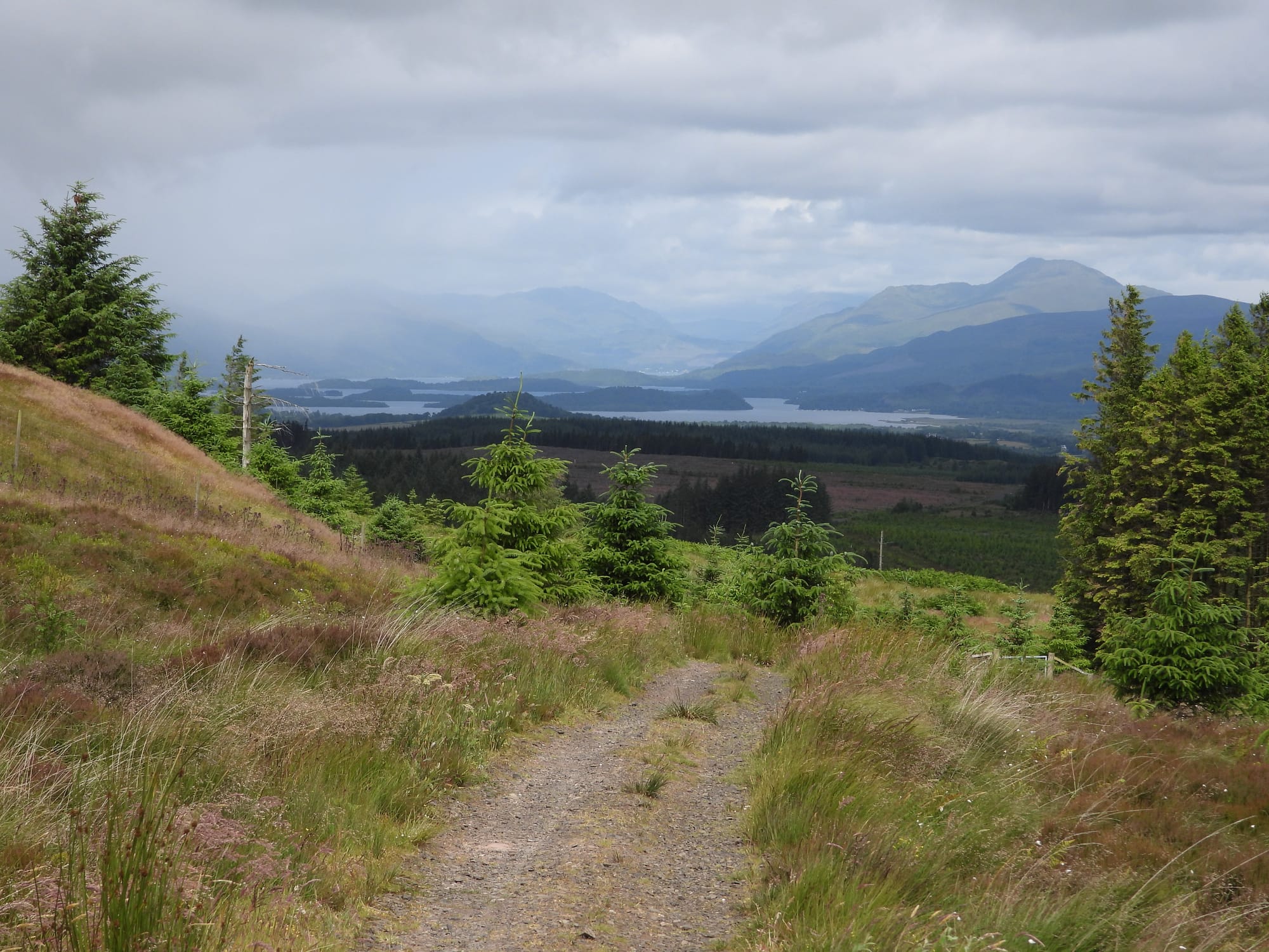
From July to November this year, I walked (non-continuously!) along the John Muir Way from the west coast of Scotland to the east coast, a 215 kilometre route that took me a combined total of 45 hours to complete. This week’s post discusses the open source and, shamefully, proprietary software that I used to plan and complete this walk.

pre-walk planning
The best source of freely available map files and route descriptions in Scotland is Walkhighlands. Walkhighlands was set up in 2006 by Paul and Helen Webster using £50 of start-up money and it’s now the best, most reliable way to get route descriptions and GPX files for walking routes in Scotland including hills like the Munros. I’ve used other sites like Komoot and AllTrails that bug you about registering and signing in to download GPX files and even come across sites that charge for route maps. For this walk, I used the Walkhighlands website to download GPX files onto my phone for every stage of the walk and imported them into c:geo which I discuss later.
The John Muir Way is a great trail for people like me who don’t own a car because every stage is accessible via public transport. While I used c:geo when actually walking, I shamefully used Google Maps for getting public transport to the start of each stage or getting home. I keep meaning to switch to Organic Maps which is an open source mapping app capable of calculating directions but I haven’t yet made the switch. I used Google Maps for its public transport information of what bus or train to get and when and my concern was that Organic Maps’ data wouldn’t be as good for that.
That said, I am relying on Google Maps less and less for public transport information (primarily because it doesn’t seem to have caught up with the revised ScotRail timetable). Instead I use Train Track. Train Track is unfortunately a proprietary app developed by quantabyte but it’s lightweight, saves favourites, and focuses on showing departure times. The official National Rail app used to do this but their v10.0 update turned it into an app that’s just a shortcut to their poorly designed website and took away all the actually useful features as attested to by the thousands of one-star reviews that they’ve gained since September 2024.
I also used the Realtime Trains website which is simply the best source for real-time information about trains in Great Britain and has a great API that I’ve previously used to make a small web application to show me train times at my local stations.
walking
On the actual walk, I used c:geo for navigation. c:geo is officially a geocaching application but I’ve found that it serves double duty for both geocaching and as a reliable GPS map application. It shows you a map and can connect to your phone’s GPS to show your exact position on the map and if you can ignore or filter out the geocache icons on the map, it works great for navigation. I loaded the GPX files as routes in c:geo and the routes got overlaid on an OpenStreetMap map [1] that I could follow as I walked. c:geo is distributed under the Apache License 2.0 and is developed by the c:geo community.
In the past, I’ve also used OsmAnd which is an open source map app that uses OpenStreetMap and the OS Maps app which is a proprietary app that lets you download Ordnance Survey maps (either paying for digital maps or getting the accompanying digital versions of print maps that you already own). Walkhighlands also has their own app which lets you download route descriptions, photos, and mapping for offline use on your phone but it’s not open source.
To track my activity and let me know how I was doing on the walk, I used Runkeeper. I have yet to find a reliable open source app for tracking exercise activities so I use Runkeeper for all my running and hiking exercises and then use FitnessSyncer to sync up with my profiles on Strava and Smashrun [2]. On this walk, I used Runkeeper to record all my John Muir Way stages as hiking activities.
There are plenty of open source apps that I should try for tracking exercise like hiking. I’m aware of FitoTrack and RunnerUp which are both released under the GPL 3.0 license but I haven’t yet tried either of them.
When I wasn’t walking in silence or listening out for bird calls, I listened to podcasts using AntennaPod which is not only the best open source podcast app I’ve used but the best podcast app I’ve used period. It’s open source, released under the GPL-3.0 license, and can import any podcast RSS feed with a range of useful features and controls for auto-download and managing subscriptions.
post-walk analysis
After each stage of the walk, I exported the GPX file for my activity from Runkeeper’s website and looked at them using GPXSee, a desktop application for viewing GPX files released under the GPL 3.0 license and developed by Martin Tůma, and gpx.studio, a browser-based application for viewing and editing GPX files released under the MIT license. gpx.studio did more for me, allowing me to combine all my GPX files into one long route and take a closer look at my numbers for time, distance, and altitude.
Walking the John Muir Way was a fun exercise and a step up from the shorter Three Lochs Way which I walked earlier this year. At some point next year, I’ll have a think about what to do in 2025 but I definitely want to do some shorter hill walks up some of the hills accessible by public transport like Ben Vorlich and The Cobbler. I’d love to do the West Highland Way but that would require either planning for accommodation en-route or a refresh of my decade-old camping equipment. Hopefully 2025 will be the year I can go entirely open source for these outdoor activities.
c:geo also lets you download OpenAndroMaps for offline so I also had the Scotland map downloaded for areas where I had no data signal plus I carried Ordnance Survey printed maps when I had them. Always carry a map that doesn’t require connection to the internet to access. ↩︎
Smashrun is an analytics platform for runners that I like a lot and that gives me better data than either Runkeeper or Strava. It’s unfortunately not open source but it is developed by a small team of three people so they deserve at least a footnotes shout-out. ↩︎

